|
Constraining the expected brittle-ice behavior for the Hercules Dome ice-core site (2022 - present).
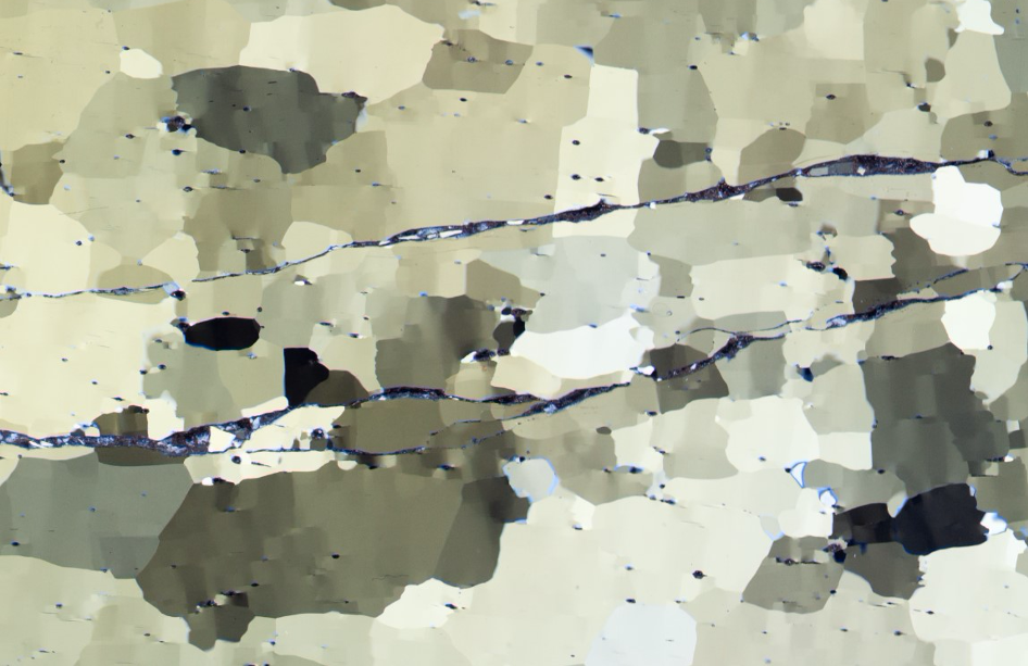
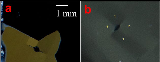
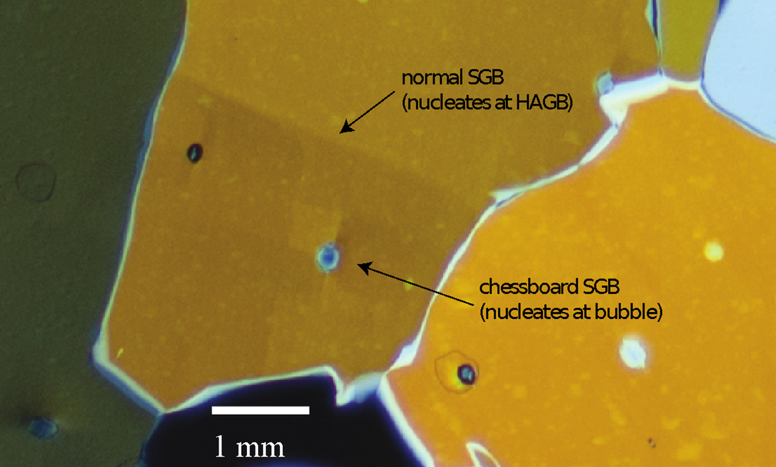
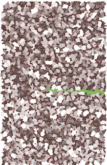
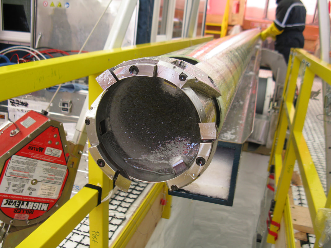
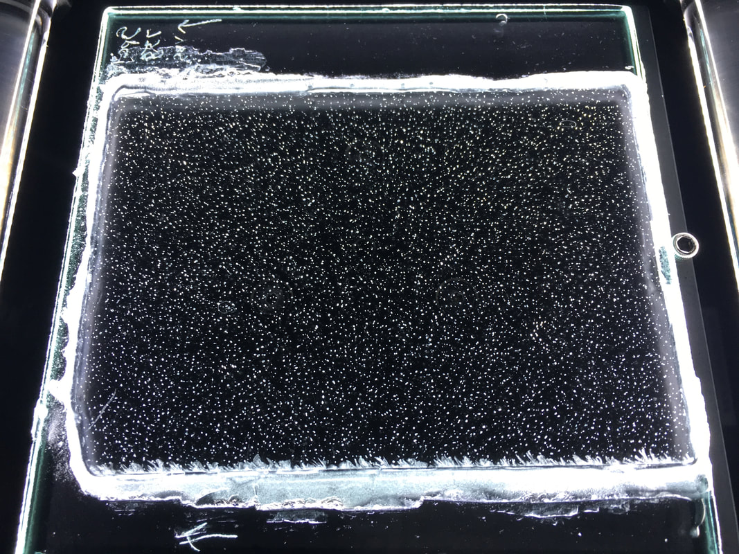
Brittle ice has been a long-standing and consistent challenge for ice-coring projects, complicating sampling, and introducing the possibility of contamination. Several procedures have been tested to reduce brittle damage to recovered cores, but many come with high monetary and time costs. The fundamental nature and causes of brittle ice are still not fully-understood, precluding accurate guidance for future projects. The simplest model for the cause of brittle ice—generation of large fractures through interconnection of cracks driven from the randomly distributed bubbles—fails to explain both the observed brittleness of ice, and recent observations suggesting that fracture surfaces in brittle ice are often somewhat faceted or stepped, consistent with the brittle-ice fractures exploiting subgrain boundaries connecting bubbles. We will characterize ice physical properties in selected samples from cores with varying brittleness, including bubble size and number-density, ice fabric, grain statistics, fracture characteristics, and the location and properties of grain and subgrain boundaries to better constrain and improve understanding of brittle ice variability and onset. This will ultimately allow guidance for the Hercules Dome project, and support a Northern Arizona University graduate student. Sample selection and analyses will especially focus on the “end-member” Siple Dome and South Pole cores, but may also include samples from relevant core sites such as WAIS Divide. NSF Awards supporting this work: 2218402 |
|
WAIS Divide Ice Core Project
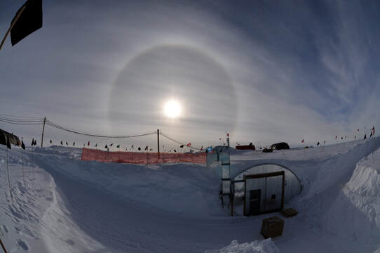
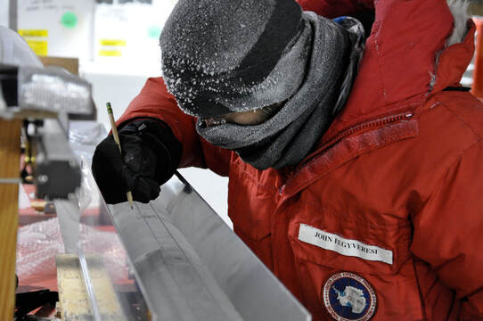
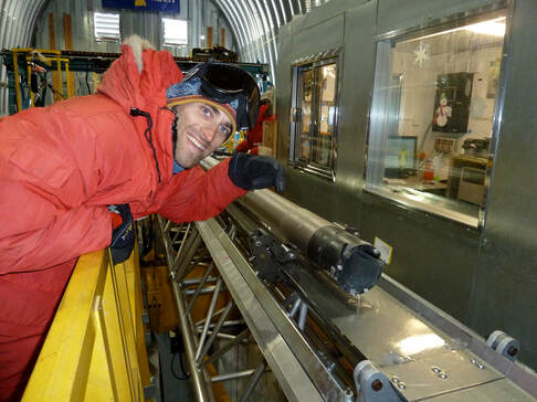
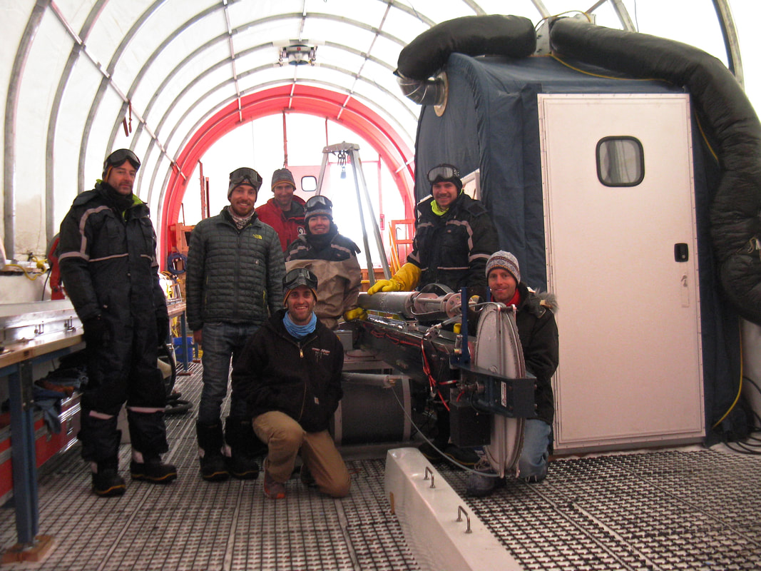
5 Field Seasons (2008 - 2013) The main objective of the WAIS (West Antarctic Ice Sheet) Divide ice core project (drilling operations from 2006-2013) was to investigate climate from the last glacial period to modern conditions, with greater time resolution than previous Antarctic ice cores. In addition, the project investigated the dynamics of the West Antarctic Ice Sheet and cryobiology. Funding was provided by the United States National Science Foundation (NSF) through the United States Antarctic Program. The distinguishing characteristic of the project was the development of environmental records of the last glacial period and early Holocene, with greater time resolution and dating precision than previous Antarctic ice cores. This is true for the records of atmospheric gases, water isotopes, and chemistry. My role in this project was to collect and analyze physical properties samples from the primary and replicate ice cores. With these samples, my research objectives were to reconstruct past climates and analyze the ice flow and deformation history for the site. In addition to my work on the ice cores, I also carried out a detailed investigation on the evolution of the snow surface at the WAIS Divide site using surface (AWS), snow-pit, and shallow core measurements. As a part of this project, I spent 5 consecutive field seasons at the site as an ice-core science technician and researcher. NSF Awards supporting this work: 1043528 and 0539578 |
|
South Pole Ice Core Project
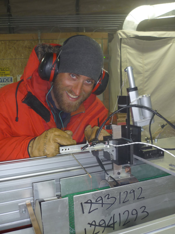
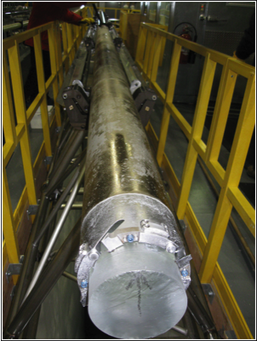
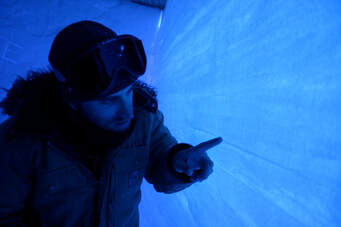
1 Field Season (2015 - 2016) The stable isotope, aerosol, and atmospheric gas records in ice cores provide exceptional archives of past climate. Supported by the U.S. NSF Office of Polar Programs, a ~57,000-year long ice core was recovered from South Pole during the 2014-2016 field seasons (1751 meters) using the new U.S. Intermediate Depth Drill. The South Pole site preserves unique climate records by combining cold temperatures typical of East Antarctica, with a relatively high accumulation rate due to West Antarctic influence. The South Pole ice core extends the international array of ice cores used to investigate environmental change since the last glacial/interglacial transition. The scientific goal is to assess and understand changes in atmospheric chemistry, climate, and biogeochemistry. My role in this project has been to study the physical properties of the South Pole ice core to help provide a high-time-resolution history of trace gases and other paleoclimatic indicators from an especially cold site with high preservation potential for important signals. The physical-properties studies include visual inspection to identify any flow disturbances and for identifying annual layers and other features, and combined bubble, grain and ice crystal orientation studies to better understand the processes occurring in the ice that affect the climate record and the ice-sheet behavior. Success of these efforts will provide necessary support for dating and quality control to others studying the ice core, as well as determining the climate history of the site, flow state, and key physical processes in ice. NSF Award supporting this work: 1542778 |
|
IODP Expedition 379: Amundsen Sea WAIS History (2019 - Present)
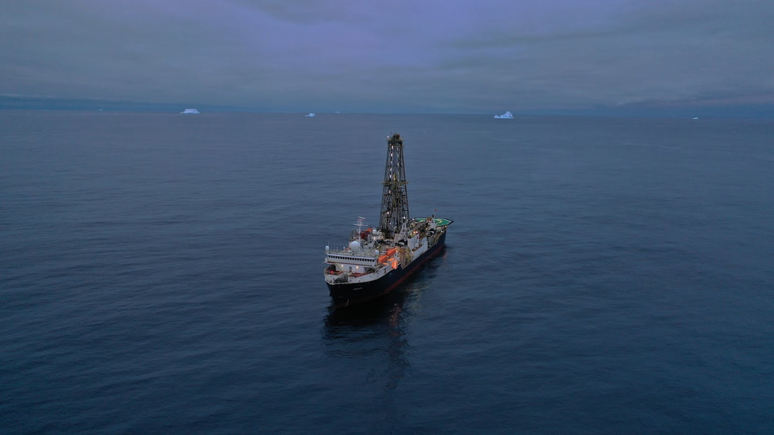
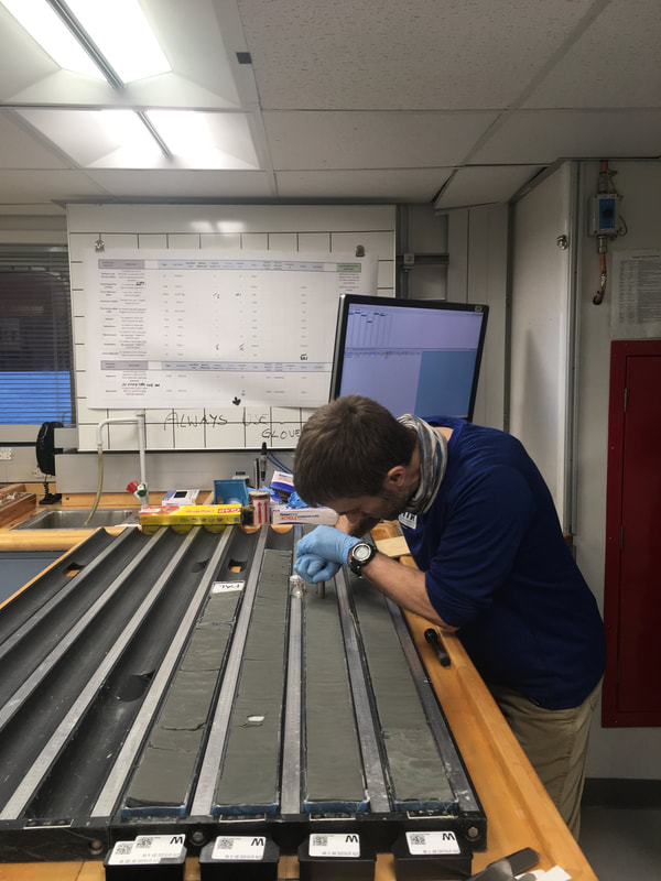
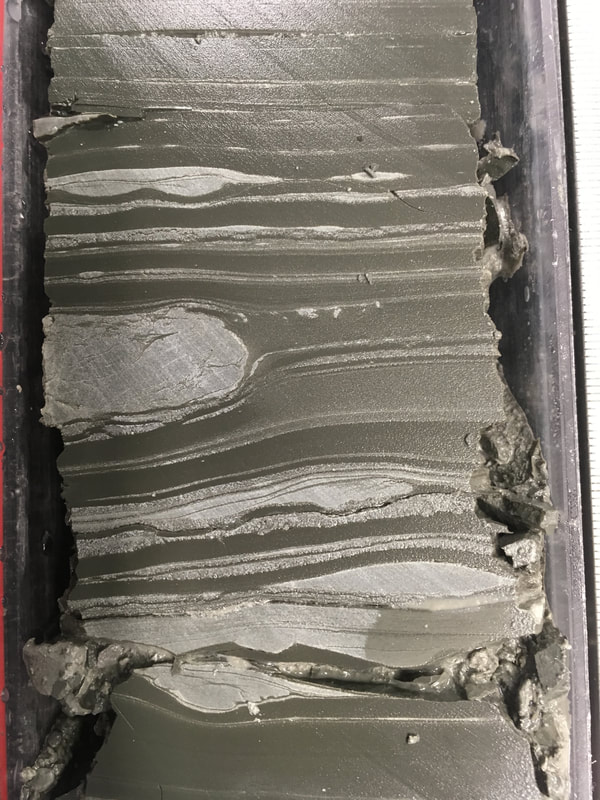
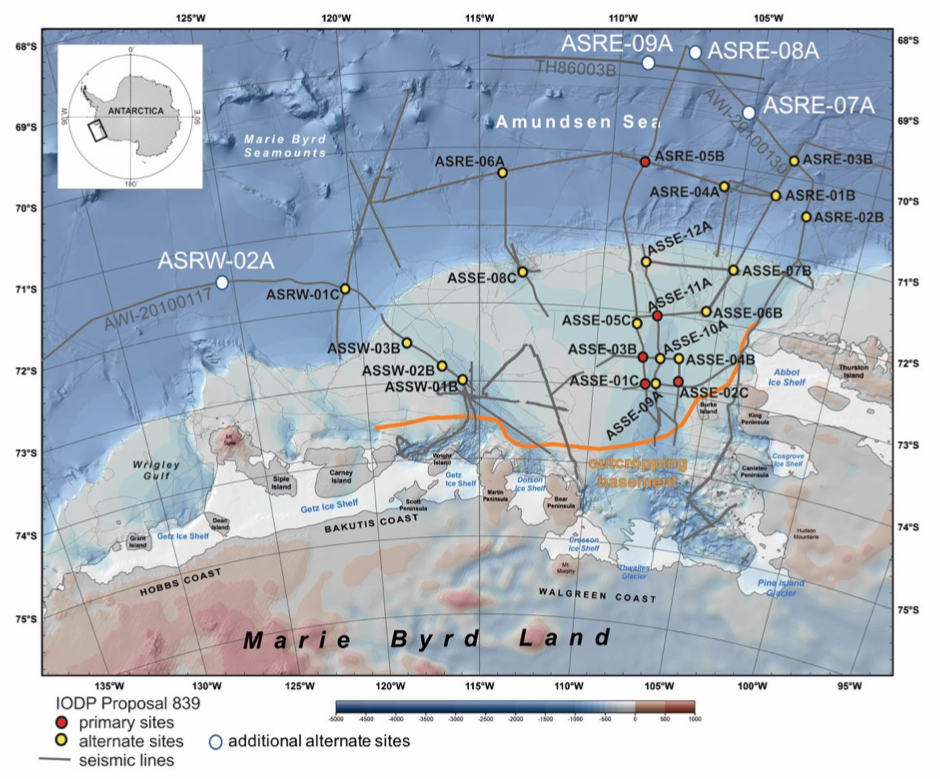
1 Field Season (2019) The West Antarctic Ice Sheet (WAIS) is largely marine-based, highly sensitive to climatic and oceanographic changes, has had a dynamic history over the last several million years, and if completely melted, could result in a global sea-level rise of 3.3–4.3 m. Expedition 379 will obtain records from the continental shelf and rise of the Amundsen Sea to document WAIS dynamics in an area unaffected by other ice sheets as well and that currently experiences the largest ice loss in Antarctica. The primary objectives include (a) reconstructing the Paleogene to Holocene glacial history of West Antarctica, (b) correlating the Amundsen Sea WAIS-proximal records with global records of ice volume changes and air/seawater temperature proxy records, (c) constraining the relationship between incursions of warm water masses onto the continental shelf and the stability of marine-based ice sheet margins, and (d) reconstructing major WAIS advances onto the middle and outer shelf, including the first ice sheet expansion onto the continental shelf of the Amundsen Sea Embayment and its possible control by the uplift of Marie Byrd Land. While on-shift aboard the Joides Resolution (JR) research vessel, I contributed as a member of the physical properties (petrophysics) team, and carried out measurements using the various shipboard instruments (e.g. WRMSL, NGRL, SHMSL) in an effort to collect multiple data sets including density, moisture content, P-wave velocity, thermal conductivity, shear strength, natural gamma radiation, magnetic susceptibility, and spectral reflectance. In addition, I collaborated with the downhole and sedimentology science teams to determine discrete sampling depths and intervals for analysis of high-resolution porosity and permeability data. Following the expedition, and through a funded Post Expedition Award, I will analyze and evaluate 3D sediment core microstructure at discrete depths, through the use of high-energy micro-CT sample measurements at the Cold Regions Research and Engineering Laboratory (CRREL). I will take these measurements on samples acquired from intervals matched to Interstitial Water (IW) sampling, at sites U1532 and U1533. This will provide precise, high-resolution measurements, that will better constrain how stratigraphic microstructure and porosity evolve through depth within the recovered sediment cores, and help to quantify if remnant water is retained with IW sample cakes after standard sample preparation. Funding provided through the NSF Ocean Drilling Program (ODP) |
|
POLENET (Polar Earth Obs. Network)
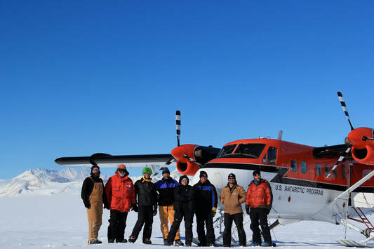
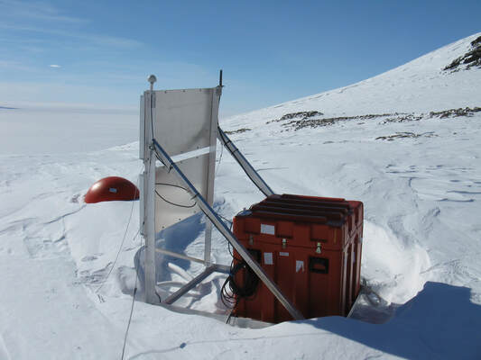
1 Field Season (2011) POLENET is a global network dedicated to observing the polar regions in a changing world. The project is primarily focused on collecting GPS and seismic data from autonomous systems, but also includes geophysical observations such as magnetics, tide gauge, and gravity measurements. Equipment deployments are at remote sites spanning much of the Antarctic and Greenland ice sheets. GPS and seismic measurements together provide a means to answer critical questions about ice sheet behavior in a warming world. Combining POLENET measurements of gravity, sea level, and the atmosphere will link ice sheet change to the global earth system. Scientists define Earth’s global ice volume as a “mass budget” with ice shrinking and growing in different places around the world. Coordinating satellite measurements with ground-based POLENET measurements will evaluate the ice sheet “budgets” of both polar regions, providing a deeper understanding of how polar ice sheets contribute to changing sea levels around the world. The unprecedented scale of the POLENET sensor network is allowing investigations of systems-scale interactions of the solid earth, the cryosphere, the oceans and the atmosphere. POLENET data is enabling novel studies of the inner earth, tectonic plates, the earth’s magnetic field, climate and weather, and the solar wind, and will lead to as yet unimagined discoveries about the critical polar regions of our planet. NSF Award supporting this work: 0632322 |
Radar Survey of McMurdo Ice-Transition Road
1 Field Season (2016)
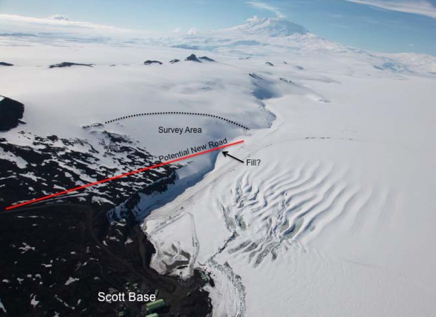
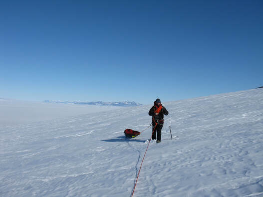
The primary road from McMurdo Station to MIS infrastructure traverses from Scott Base onto the shelf via a region known as the Transition Zone (TZ). The TZ is bordered by heavily fractured sea ice on one side and exposed bedrock and potentially stagnant and shallow glacier ice on the neighboring hillside. This location experiences complex ice flow dynamics that causes significant fracturing, folding, and surface-subsurface complexities or crevasses in the ice. We used ground-penetrating radar (GPR) and GPS to survey ice depth and glacier ice flow velocities, respectively, of the hillside
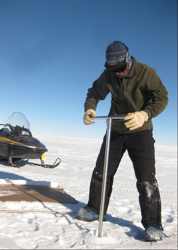
neighboring the TZ to determine if the road may be relocated to a more suitable and safer long term site on the hill. We ground-truthed GPR profiles of snow, firn, and ice thickness using one or two shallow (10-16 m) cores extracted with a Kovacs ice corer. Ice flow velocity stakes will be placed in a grid pattern on the hillside and measured with GPS in October 2016 and February 2017 to estimate ice flow velocities and associated rates of deformation. Low ice flow velocities and shallow ice depths would dictate whether a road could be maintained in this region as a long term viable option to the currently used TZ road by removing the snow and ice on the immediate hillside.
This study was conducted for the National Science Foundation, Office of Polar Programs (NSF-OPP) under Engineering for Polar Operations, Logistics, and Research (EPOLAR) EP-ANT-16-32
Various Snow Properties Studies - Antarctica, New Hampshire, Colorado
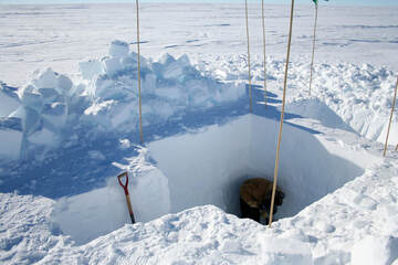
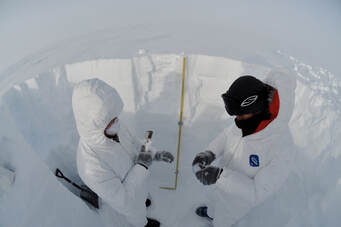
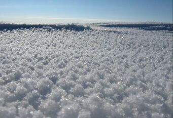
Over the past 10 years I have been involved with several project related to various physical properties of snow and firn. Most of these projects centered round snow-pit and shallow core analyses in Antarctica, that were coupled to my WAIS Divide field deployments, however I did also participate in many similar studies while working for the Cold Regions Research and Engineer Lab (CRREL) in New Hampshire and Colorado. For each project, I carried out several different types of analyses and data collection for the purpose of of testing several hypotheses related to snow and firn densification, bubble trapping, total porosity and tortuosity, as well as grain growth and ice deformation. Often these studies were only part of much larger research questions related to large-scale depositional processes and energy balance.
These studies were funded by several research grants through both the National Science Foundation, the Army 6.1 Basic Research Program, as well as small academic scholarships awarded through my graduate program at Penn State University.
Various Laboratory and Cold Room Efforts
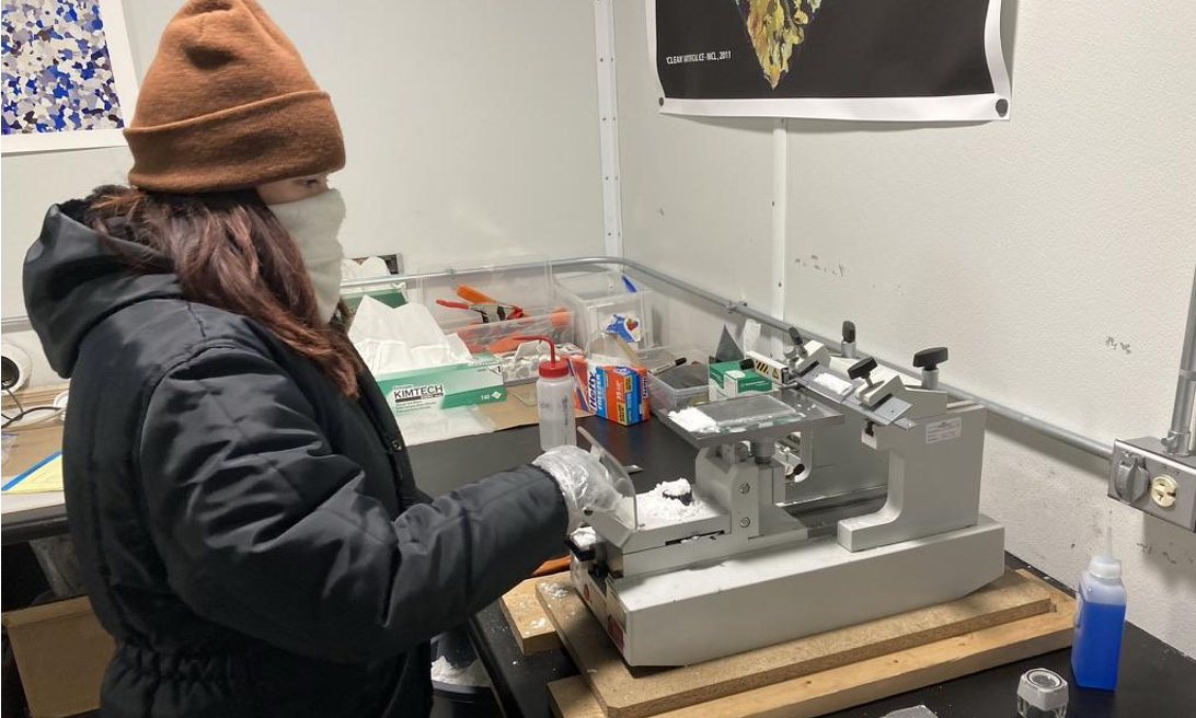
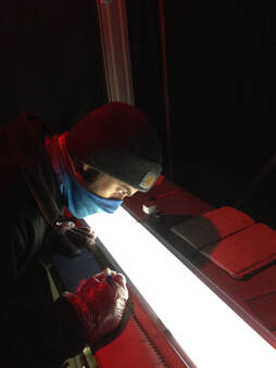
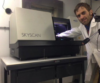
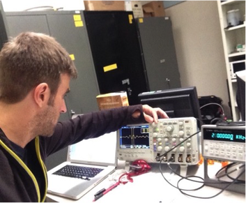
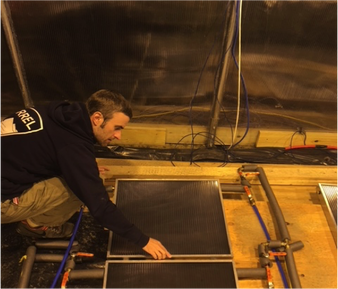
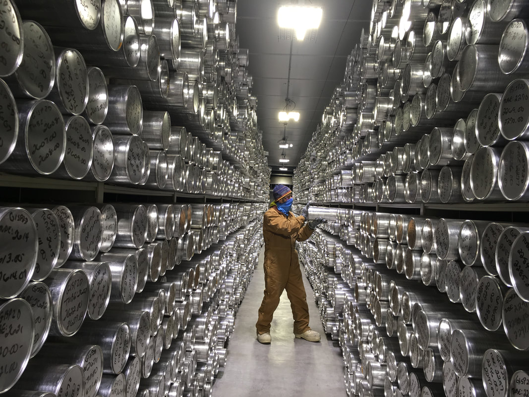
A very large part of my research portfolio over the past 12 years has included work in various laboratory settings. Most notably, I have spent over a cumulative year of my life working at the National Science Foundation's Ice Core Facility in Lakewood, Colorado. Formally known as the National Ice Core Lab (NICL), this lab acts as the US national repository for all major ice core projects. At this facility I have primarily worked on preparing and imaging ice core samples for the purpose of analyzing physical properties. Typically, my time in the lab was spent creating and imaging thin sections and bubble sections, as well as analyzing visual properties of ice core sections within a specially-lit dark room. Over the past several years, while working at the Cold Regions Research and Engineering Lab, I have also spent a considerable amount of time in a cold room preparing and analyzing samples measured on a Bruker Skyscan micro-CT instrument. My work at the Cold Regions Lab also included several projects such as a large-scale solar collector efficiency study, and acoustic acoustics experiments to determine porosity and permeability of snow.
A very large part of my research portfolio over the past 12 years has included work in various laboratory settings. Most notably, I have spent over a cumulative year of my life working at the National Science Foundation's Ice Core Facility in Lakewood, Colorado. Formally known as the National Ice Core Lab (NICL), this lab acts as the US national repository for all major ice core projects. At this facility I have primarily worked on preparing and imaging ice core samples for the purpose of analyzing physical properties. Typically, my time in the lab was spent creating and imaging thin sections and bubble sections, as well as analyzing visual properties of ice core sections within a specially-lit dark room. Over the past several years, while working at the Cold Regions Research and Engineering Lab, I have also spent a considerable amount of time in a cold room preparing and analyzing samples measured on a Bruker Skyscan micro-CT instrument. My work at the Cold Regions Lab also included several projects such as a large-scale solar collector efficiency study, and acoustic acoustics experiments to determine porosity and permeability of snow.
